Vietnam is accelerating the use of AI, digital transformation and advanced forecasting tools to improve disaster preparedness and resilience.
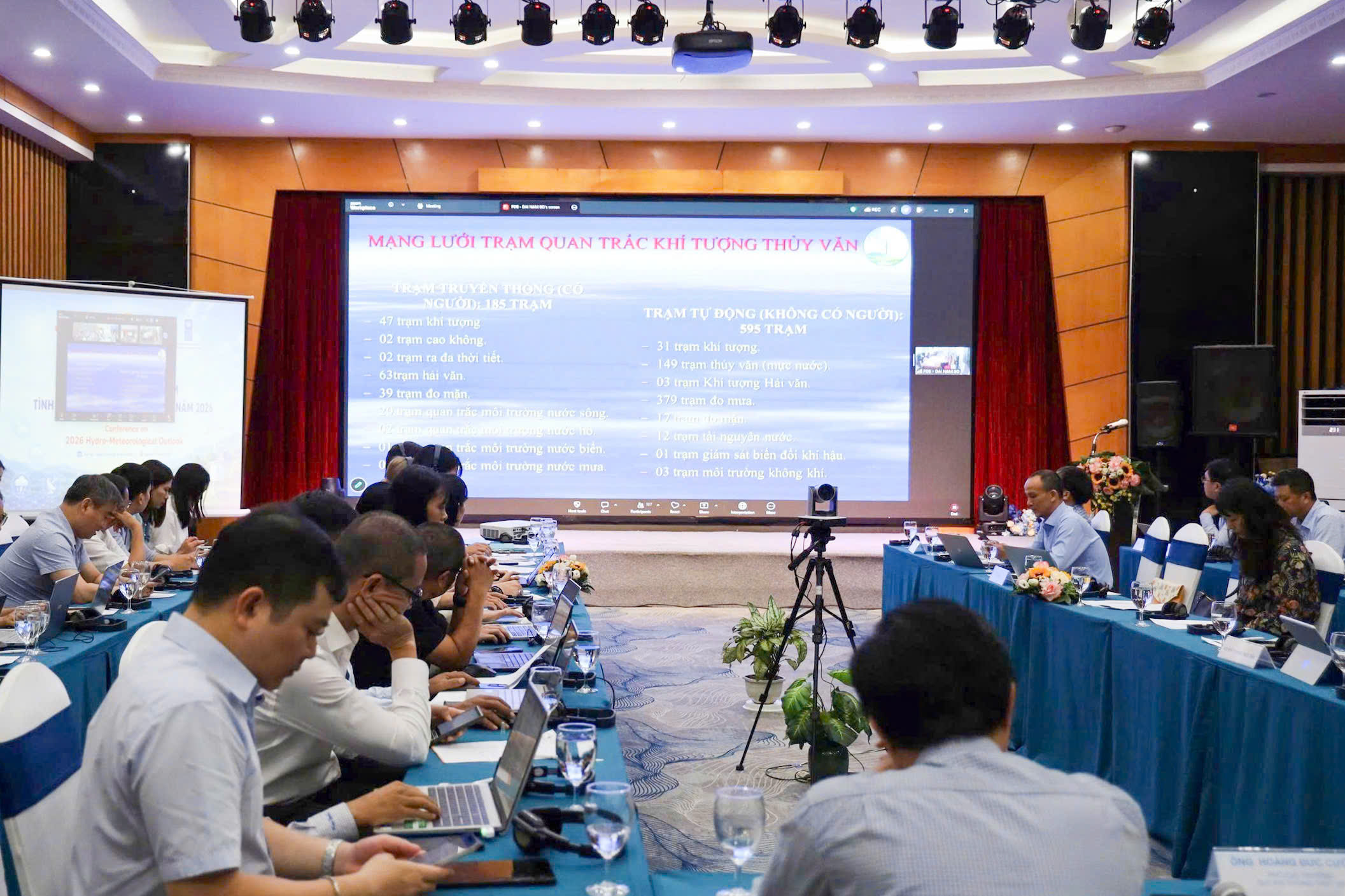
On the morning of June 23, the 2026 Hydro-meteorological Outlook Conference was held in Hanoi. The event was organized by the National Hydro-Meteorological Service under the Ministry of Agriculture and Environment, in coordination with the Embassy of Canada and the United Nations Development Programme (UNDP) Vietnam's Climate Change, Energy and Environment Unit.
At the conference, leaders of the Northern, Central and Southern Regional Hydro-Meteorological Centers presented reports on the current status of new technology applications in hydrometeorological operations and forecasting.
Northern region: Technological innovation improves flood forecasting on the Cau River basin
As one of the three major river basins in the Thai Binh river system, the Cau River flows through several key localities, including Thai Nguyen, Bac Ninh, Phu Tho and Hanoi. With diverse terrain ranging from mountainous and midland areas to low-lying plains, coupled with rainfall concentrated during the summer months, the basin frequently faces the risk of major floods that develop rapidly and unpredictably.
Vu Thanh Long, Deputy Director of the Northern Regional Hydro - Meteorological Center, said that the flood season on the Cau River typically lasts from June to September each year. Floods in this river system are characterized by rapid rises and falls, sharp flood peaks and short durations, ranging from three to 10 days depending on the area.
Vu Thanh Long, Deputy Director of the Northern Regional Hydro - Meteorological Center.
In recent years, the impacts of climate change have led to increasingly frequent extreme weather events. The flooding caused by Typhoon Yagi in 2024 clearly demonstrated this trend. At the Gia Bay hydrological station in Thai Nguyen, the flood peak on September 9, 2024 reached 28.01 meters, surpassing the historic level recorded in 2001. Just one year later, under the influence of Typhoon Co-may, the basin witnessed another record-breaking flood, with water levels at Gia Bay reaching 29.99 meters, far exceeding previous records.
According to Long, the primary cause was prolonged heavy rainfall across the Northeast region and the Hoang Lien Son range, where many locations recorded more than 200mm of rainfall within a short period. The steep topography in upstream areas accelerated runoff from rivers, streams and tributaries, causing water levels on the Cau River to rise abruptly and resulting in severe flooding in many urban areas, particularly central Thai Nguyen.
To strengthen forecasting capacity, the hydrometeorological sector is currently combining multiple forecasting approaches, ranging from traditional methods to advanced modeling technologies. Statistical and correlation-based methods relying on historical data series are used to identify patterns in hydrometeorological variables. Hydrological and hydraulic methods based on flow dynamics equations and water balance principles help simulate flood formation and propagation processes across the basin.
Notably, the MIKE 11 model is being used as a key tool to simulate river flows within the Cau River system and support the development of water-level forecasting scenarios and flood-risk assessments.
However, flood forecasting still faces numerous challenges. The network of automatic rainfall monitoring stations in upstream areas and tributary basins remains sparse and unevenly distributed. The quality of input data has yet to fully meet requirements during extreme disaster situations. The application of remote sensing data, artificial intelligence (AI) and machine learning continues to encounter obstacles due to the lack of high-quality, standardized baseline datasets.
Another major challenge is that climate change is altering traditional hydrological patterns. Extreme rainfall events are becoming more intense and shorter in duration, reducing the representativeness of statistical models built on historical records.
According to Vu Thanh Long, improving flood forecasting on the Cau River in the coming years will require prioritizing the expansion of automatic monitoring networks, developing a synchronized hydrometeorological database, accelerating the application of remote sensing, AI and advanced data analytics technologies. At the same time, further research is needed on the impacts of urbanization, land-use changes and resource exploitation on river flow characteristics in order to adjust forecasting models to new realities.
Central region: Strengthening early warning systems to serve authorities and communities at the grassroots level
Vu Thanh Long regarded as one of the regions most exposed to natural disasters, central Vietnam remains a key focus area for hydrometeorological forecasting and warning efforts.
According to representatives of the Central Regional Hydro-Meteorological Center, the region was directly affected by seven typhoons in 2025, along with multiple episodes of prolonged, widespread heavy rainfall stretching from Nghe An to Khanh Hoa. The flood season saw a greater number of flood events than the long-term average, with broader impacts and higher intensity. Several river systems, including the Ca River, Bo River, Huong River, Vu Gia–Thu Bon River and Ba River, experienced major floods, some of which exceeded historical benchmarks.
Particularly notable was the historic flood on the Ca River in late July 2025, when water levels at Muong Xen surpassed the previous record set in 2011. On the Vu Gia - Thu Bon and Huong river systems, major floods at the end of the year caused severe inundation in many areas of Hue, Da Nang and Quang Ngai. Meanwhile, the South Central region continued to experience historic flooding affecting Khanh Hoa and Dak Lak.
These developments underscore the urgent need to strengthen forecasting and early warning capacities in support of disaster prevention and response management.
In recent years, the Central Regional Hydro-Meteorological Center has implemented a range of modernization measures centered on serving communities and end users. Disaster monitoring is conducted continuously before, during and after hazardous events. A 24/7 duty system is maintained during major disasters to ensure timely updates and dissemination of information to authorities at all levels and to the public.
In particular, in line with the policy of reforming the two-tier local government model, the center has developed digital administrative maps down to commune and ward levels, integrated meteorological forecasts from numerical weather prediction models, established a centralized forecasting system for the entire central region, and developed WebGIS platforms and digital applications for forecast dissemination.
As a result, hydrometeorological information is no longer limited to the provincial level but is increasingly detailed down to individual communes, wards and areas facing high disaster risks.
According to hydrometeorological experts, this marks an important step forward in the sector’s digital transformation process, enhancing support for decision-making by local authorities in reservoir operations, population evacuation, and responses to flooding, flash floods and landslides.
From now until the end of 2026, El Niño is forecast to persist with a very high probability. Temperatures across central Vietnam are expected to remain 0.5 to 1.5 degrees Celsius above the long-term average. The risks of drought, water shortages and saltwater intrusion are expected to continue in many localities, particularly in the South Central region and the Central Highlands.
In this context, the hydrometeorological sector has identified the continued modernization of monitoring networks, the development of integrated forecasting systems, the application of real-time data from radar, satellites and reservoirs, and the strengthening of multimedia communication platforms as key priorities to ensure that warning information reaches the public more quickly, accurately and effectively.
Southern region: Accelerating digital transformation and AI applications for forecasting and flood warnings
In southern Vietnam, where the impacts of climate change, sea-level rise, urban flooding and saltwater intrusion are becoming increasingly evident, hydrometeorological forecasting is being advanced through high technology applications and comprehensive digital transformation.
Le Dinh Quyet, representative of the Forecasting Division at the Southern Regional Hydro-Meteorological Center, delivers his report online at the conference.
Le Dinh Quyet, representative of the Forecasting Division at the Southern Regional Hydro-Meteorological Center, said that the region’s observation, data transmission and hydrometeorological station systems are currently operating stably, ensuring a continuous flow of data for forecasting activities.
One of the most significant developments in recent years has been the extensive application of numerical models and AI in operational forecasting. In meteorology, the center uses the Weather Research and Forecasting (WRF) model combined with data assimilation techniques, while also utilizing forecast products from the European Centre for Medium-Range Weather Forecasts (ECMWF) and various international data sources.
In hydrology and marine forecasting, a range of advanced models, including MIKE, HEC, INFOWORKS, MIKE NAM, MIKE 21, ROMS and SWAN, have been deployed to improve the accuracy of flood forecasting, reservoir operations, wave prediction, tidal surge forecasting and the monitoring of unusual marine phenomena.
Notably, the Southern Regional Hydro-Meteorological Center has achieved initial success in applying AI to flood forecasting. Through a research project funded by Ho Chi Minh City, the center developed an AI-based flood forecasting and warning system serving Thu Duc City. The system is currently being further refined and operated.
According to Quyet, operating multiple models simultaneously and continuously comparing outputs during complex disaster situations helps improve forecast reliability. This approach is proving effective in flood forecasting and reservoir operation management throughout southern Vietnam.
Alongside efforts to improve technical quality, the Southern Regional Hydro-Meteorological Center has also focused on bringing forecast information closer to the public. Digital platforms such as Zalo, Facebook and Messenger are being extensively utilized to shorten information dissemination times. Weather advisory bulletins tailored to agricultural production have been introduced in several localities across the Mekong Delta, helping residents proactively plan production activities and respond to natural disasters.
In the coming period, southern Vietnam is forecast to continue facing the risks of drought and saltwater intrusion during the 2026-2027 dry season. These challenges pose significant threats to agricultural production, particularly in the Mekong Delta.
To address these challenges, the hydrometeorological sector in southern Vietnam will continue modernizing observation networks, developing river basin-based forecasting systems, expanding the use of AI, big data and digital platforms, while enhancing human resource quality and advancing comprehensive digital transformation across professional operations.
It is evident that from North to South, Vietnam’s hydrometeorological sector is steadily transforming toward a more modern, intelligent and proactive approach to disaster preparedness.
As climate change continues to intensify and create increasingly complex challenges, investment in observation systems, data infrastructure, technology and human resources is not only an urgent requirement for the sector but also a crucial solution for protecting lives and property, while supporting the country’s sustainable development goals.
The Vietnam Trade Office in India participated in the India-Asia Business Conclave 2026, strengthening business connectivity, investment promotion, and outreach for Vietnam International Sourcing 2026.
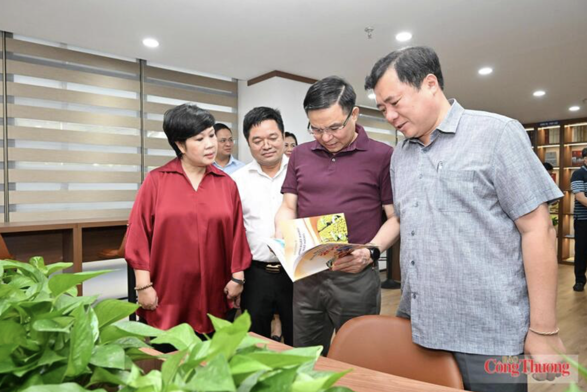
The Ministry of Industry and Trade’s Reading Culture Space aims to promote lifelong learning, strengthen knowledge sharing and support innovation across the sector.
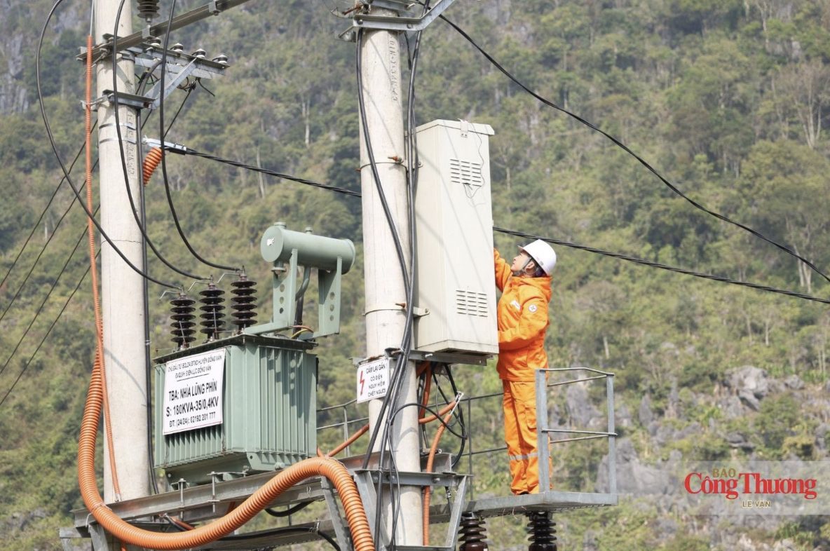
A draft decree proposes revisions to clarify regulatory authority, address implementation challenges and strengthen electrical safety management in Vietnam.
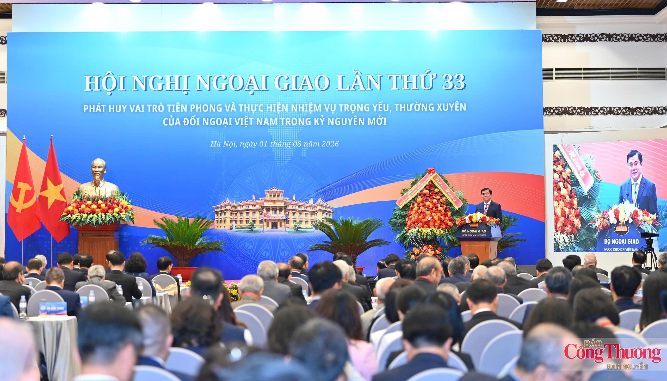
Deputy Minister of Industry and Trade Nguyen Sinh Nhat Tan underlined the need to renew thinking, place businesses at the center and improve the effectiveness of international economic integration.
Vietnam is applying AI, remote sensing and hydraulic models to improve flood forecasts, while data gaps and limited monitoring infrastructure remain major obstacles.
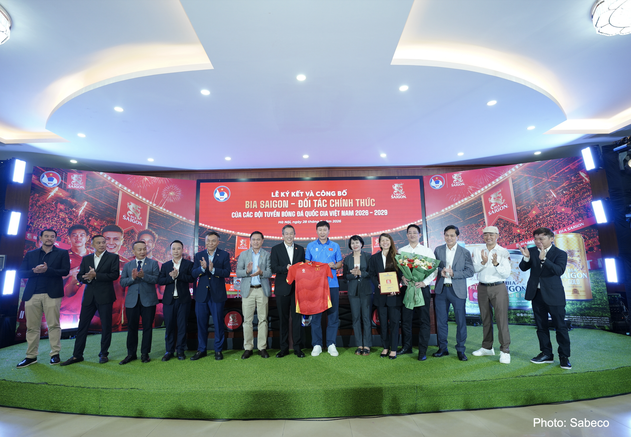
The Vietnam Football Federation (VFF) and Saigon Beer - Alcohol - Beverage Corporation (SABECO) have extended their strategic partnership for another three years, with Bia Saigon remaining the Exclusive Beer Partner of Vietnam’s men’s, women’s and U23 national football teams for the 2026-2029 period.
Carlsberg Vietnam has launched Brewing Tomorrow at its first Supplier Day, highlighting partnerships as a key driver of sustainable growth across the value chain.