Vietnam is applying AI, remote sensing and hydraulic models to improve flood forecasts, while data gaps and limited monitoring infrastructure remain major obstacles.
Against the backdrop of increasingly extreme and unpredictable natural disasters, improving the quality of forecasting and early warning has become an urgent requirement, particularly in river basins and mountainous areas of northern Vietnam, where complex terrain leaves communities frequently exposed to floods, inundation, flash floods and landslides.
The application of hydraulic models, remote sensing technology, artificial intelligence and modern monitoring systems is expected to improve forecasting accuracy, extend forecast lead times and enable relevant authorities to take a more proactive approach to disaster prevention and control. However, the effectiveness of these technologies still depends heavily on the quality of input data, monitoring infrastructure and the capacity to deliver warning information to the public.
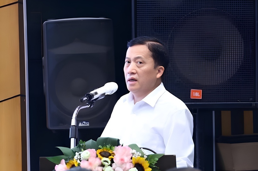
On this issue, in an inteview with the Vietnam Economic News, Vu Thanh Long, Deputy Director of the Northern Regional Hydro-Meteorological Center, on the sidelines of the conference “Forecasting and early warning of hydro-meteorological conditions in 2026,” held in June.
Vu Thanh Long, Deputy Director of the Northern Regional Hydro - Meteorological Center.
Advanced technologies reshape flood forecasting
- How is the application of hydraulic models, remote sensing technology and artificial intelligence helping improve flood forecasting and warning capacity in the Cau River basin and northern Vietnam?
Vu Thanh Long: The integration of modern hydraulic models, remote sensing technology and artificial intelligence is bringing about significant advances and comprehensively improving disaster forecasting and early warning capacity in the Cau River basin and northern Vietnam.
In addressing monitoring “blind spots” in remote and difficult-to-access upstream areas, remote sensing technology plays a crucial role by continuously providing multispectral satellite imagery and radar data, including those from Sentinel and Landsat. These sources make it possible to monitor large areas, update soil moisture data and estimate real-time rainfall at a high spatial resolution.
These supplementary data are subsequently assimilated into numerical hydrological and hydraulic models to more accurately simulate flood propagation and calculate the extent and depth of inundation in downstream areas.
In particular, the application of artificial intelligence algorithms enables the system to conduct nonlinear analysis of historical hydro-meteorological data series in combination with recent anomalous scenarios, such as Typhoon Yagi in 2024 and Bualoi in 2025.
AI can automatically learn from data and identify complex patterns to forecast flood peaks and river discharge 24 to 48 hours in advance with a high degree of reliability, while helping address certain limitations of traditional models.
This systematic and coordinated integration not only improves the accuracy of warning bulletins but also enables management agencies to move from a reactive approach to more proactive disaster prevention and control, thereby minimizing loss of life and property caused by extreme and anomalous weather conditions in northern Vietnam.
- Although forecasting technology is becoming increasingly advanced, the accuracy of forecasting models still depends heavily on the quality of input data. In your view, what are the most significant current bottlenecks in terms of data, monitoring infrastructure and technological capacity?
Vu Thanh Long: The gap between the current accuracy of flood forecasting models and practical expectations does not primarily stem from the core algorithms themselves, but from three major bottlenecks involving the data supply chain, technical infrastructure and existing technological limitations.
Regarding input data, the current information system faces a serious shortage of high-resolution spatial and real-time baseline datasets, particularly digital elevation models, or DEMs. These datasets are continuously affected by terrain changes caused by landslides and flood diversion following major historical storms, resulting in considerable geometric errors when incorporated into hydraulic models.
At the same time, cross-sectoral data connectivity and sharing among forestry authorities, hydropower reservoir operators and hydro-meteorological agencies have yet to achieve an optimal level of coordination, creating information gaps in the definition of flow boundary conditions.
Regarding monitoring infrastructure, although the surface hydro-meteorological station network has been partly automated, station density remains limited in geographically fragmented upstream areas of northern Vietnam and the Cau River basin, creating localized data “white zones.”
The considerable dependence on conventional mobile data transmission frequencies, together with the risk of physical damage to sensors during extreme natural disasters, also reduces the integrity and reliability of real-time data series.
Regarding technological limitations, the integration of conventional dynamic hydraulic models with modern machine-learning structures is constrained by limited high-performance computing capacity for ensemble forecasting.
Moreover, purely AI-based models operating independently often suffer a decline in accuracy when confronted with anomalous disaster scenarios that fall outside the probability distribution of the historical training dataset. This requires more in-depth research into the assimilation of remote sensing data so that boundary errors can be continuously corrected.
Closing the warning gap in remote areas
- In remote, isolated and geographically complex areas, the delivery of disaster warnings to local communities continues to face considerable difficulties. What solutions are needed to ensure that warnings reach the right people at the right time and can be translated into concrete response actions?
To improve the delivery of disaster warnings to remote, isolated and geographically complex areas, it is urgently necessary to coordinate technical infrastructure solutions with a multi-channel communication approach, with the aim of personalizing and localizing warning information.
From a technological perspective, the first priority should be to establish a location-based early warning system for mobile subscribers. Such a system would allow emergency messages to be sent directly and simultaneously to all mobile phones in areas at risk of flash floods and landslides, without depending on Internet access or being severely affected by congestion in conventional telecommunications networks.
For areas that become completely isolated or lose mobile coverage during extreme disasters, satellite-based communications combined with the automatic activation of smart local alarm systems would provide an important means of maintaining the flow of information.
Warning content should also be simplified through intuitive color-coded graphics, translated into the languages of local ethnic minority communities and presented concisely according to an “act now” formula so that people can readily understand and follow the instructions.
Finally, maximum use should be made of smart public broadcasting networks in coordination with local disaster prevention and control response teams. Regular field exercises should also be conducted to ensure that forecasts and warnings are not only delivered promptly but are also translated into accurate response actions that protect people’s lives.
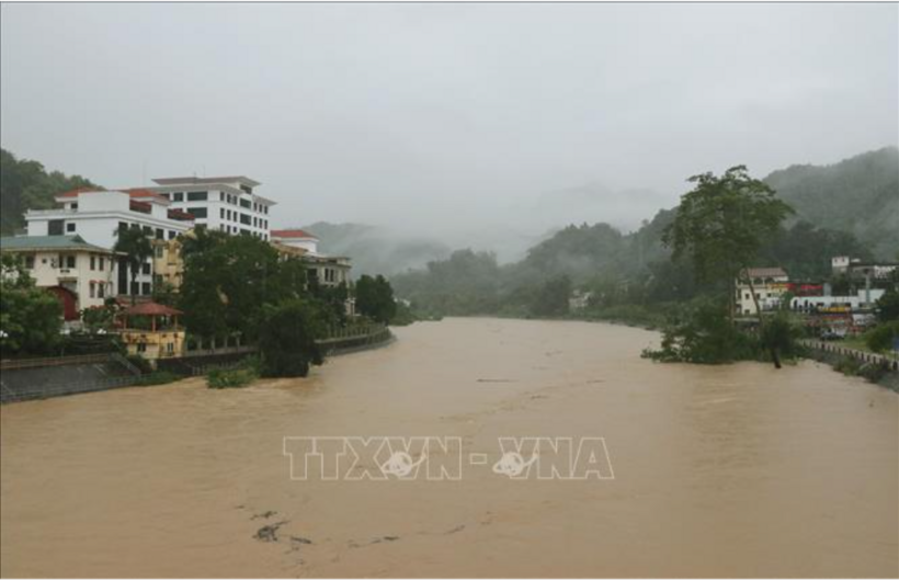
Upstream inflows causes the water level of the Lo River, through Ha Giang 1 ward in Tuyen Quang province, to rise. Photo: VNA
- What technological, data and monitoring infrastructure solutions should Vietnam prioritize in the coming period to develop a more modern, accurate and effective disaster forecasting and warning system?
Vu Thanh Long: To develop a modern disaster forecasting and warning system and optimize response capacity in the coming period, Vietnam needs to implement a coordinated strategy covering technological solutions and data infrastructure.
The foremost priority is to comprehensively digitize terrain data infrastructure in order to develop high-resolution digital elevation models, which will serve as the foundation for hydraulic simulations of extreme flows.
These data should be integrated into a centralized big-data repository that enables the connectivity and real-time assimilation of satellite remote sensing data, thereby eliminating monitoring “blind spots” in upstream river basins.
At the same time, an inevitable trend is the transition toward hybrid mathematical models that combine the compliance of conventional hydrodynamic models with physical laws and the processing capabilities of artificial intelligence.
The system should operate on high-performance computing and cloud computing infrastructure to run high-resolution numerical weather prediction models, including the Weather Research and Forecasting model, or WRF. This would help identify anomalous disaster scenarios caused by climate change 24 to 48 hours in advance.
Finally, the integrity of the warning chain must be ensured by expanding smart Internet of Things monitoring networks in combination with weather radar systems used to track convective clouds, while improving emergency communication infrastructure based on radio and satellite technologies to maintain uninterrupted information flows under all extreme conditions.
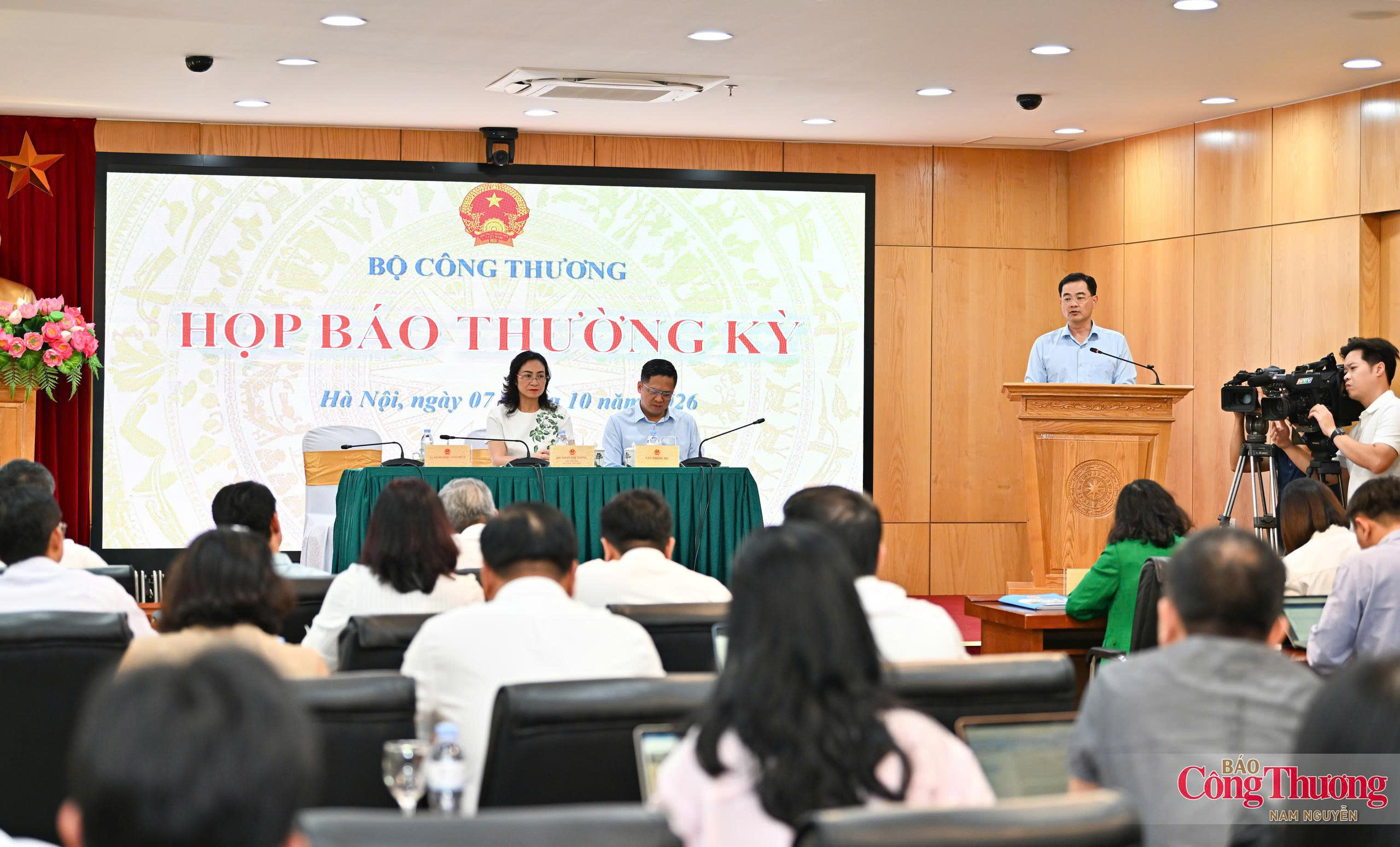
The Ministry of Industry and Trade (MoIT) held its regular press conference for the third quarter of 2026 in Ha Noi on the afternoon of October 7, chaired by Deputy Minister Phan Thi Thang.
Deputy Minister of Industry and Trade Luong Hoang Thai emphasized that building the national brand is a driving force for improving Viet Nam’s competitiveness and international standing.
The official visit to Laos by Prime Minister Le Minh Hung is expected to inject fresh momentum into bilateral relations, with economic, trade and investment cooperation continuing to serve as a core pillar.
The Panamanian President’s visit is expected to contribute to further deepening and making the traditional friendship and cooperation between the two nations more substantive and effective.
Experts warn that RSV can hospitalize even healthy infants under one, with severe cases linked to long-term respiratory problems and no specific treatment available.
Vietnamese and international experts call for routine influenza vaccination to better protect older adults from severe complications and preventable deaths.
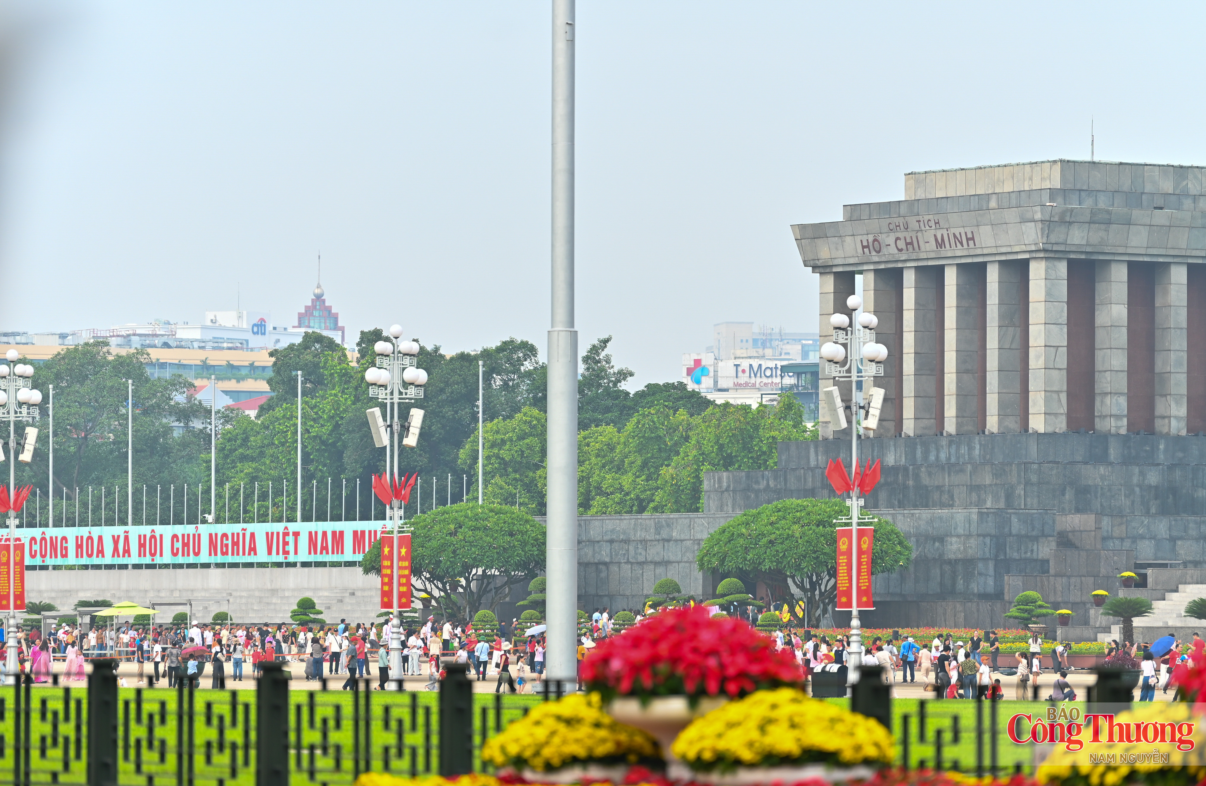
On the morning of September 1, tens of thousands of people nationwide flocked to Ba Dinh Square in Ha Noi to visit Ho Chi Minh Mausoleum and pay tribute.
In the lead-up to National Day on September 2, Ha Noi is awash in red flags and festive decorations, creating a vibrant atmosphere and stirring national pride.
Nearly 1,000 healthcare professionals attended RSV workshops in Hanoi and Ho Chi Minh City organized by the Vietnam Pediatric Association and sponsored by Sanofi-Aventis Vietnam.